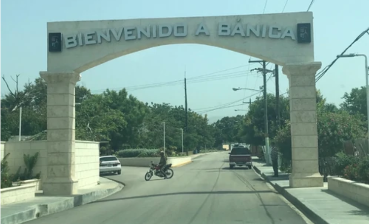
Hands of the Carpenter | About Banica
Bánica
Bánica, officially San Fransisco de Bánica, is a city in the Dominican Republic province of Elías Piña . The town’s western border lies on the banks of the Artibonite River, across from Haiti ‘s Central Department town of Thomassique. The name Bánica comes from the Taíno name of the region, Banique (“land of ebony”).
About
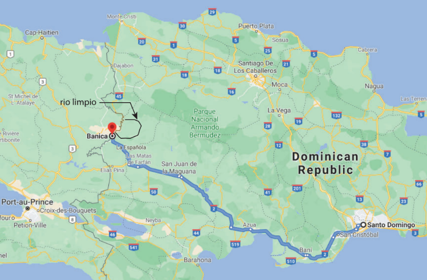
The Municipality of San Francisco de Bánica, located in the western part of the country, borders Haiti, with which it has lived through various periods of hostilities and warlike maneuvers.
With a population of less than 8,000 inhabitants, according to the last Census, there are more men than women in this local area, where they have some historical monuments such as the Sundial (Solar Clock) and the Church of San Francisco de Asís, patron of the city.
History
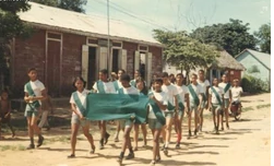
Historical Bánica
Bánica was founded by Adelantado Diego Velásquez in 1504, on the left bank of the Artibonite River . It was an important population center initially, but later decayed considerably. At the end of the 18th century (1700’s) it was populated with immigrants from the Canary Islands , moving the town to the current place, a little away from the river. Abandoned in the early nineteenth century (1800’s), it was restored during the years of Haitian occupation (1822-1844) as part of the Artibonite Department.
When the Separation was proclaimed, the Central Government Junta made it a town of the Azua Province by the decree of July 2, 1844, but the city was vacated again by its inhabitants, and was depopulated until the Restoration War, in which it began to be founded again with families that came from other border towns.
• In 1938, through Law No. 1521, it became part of the newly created Benefactor Province, today San Juan . In 1942 it became a municipality of the San Rafael Province, now Elías Piña Province.
Geography
Bánica is located at 19.08° N, -71.70° E . According to the ONE , Bánica has a land area of 265.98 km2 square kilometers (102.70 square miles). Bánica is bordered on the north by the town of Pedro Santana , on the southeast by the San Juan Province town of Las Matas de Farfán , and on the southwest by the city of Comendador . The Haitian towns of Thomassique and Cerca-la-Source border it on the west.
It is located on the left bank of the Artibonite River , in a savanna (which could be called Sabana de Bánica) which is the eastern end of the great savanna formerly known as Oncéano, a word derived from the Ocean meaning the “great extension of the savannas”; most of the Oncéano is now in Haitian territory.
These savannahs of Bánica (and the province) are separated from the San Juan Valley by foothills of the Cordillera Central . Near the city of Bánica, the mountains are relatively low but more to the northeast they reach greater height, exceeding 1,000 meters (3,280 feet), as is the case of the Loma del Pico Prieto with 1,691 m (5,500 feet). Armando Rodríguez calls these mountains the Sierra de los Altos or Sierra de Bánica.
Of note is the Saint-Joseph Spring, a thermal spring which sounds a slight whisper. It is almost not used because of the silt that lines its bottom.
Climate
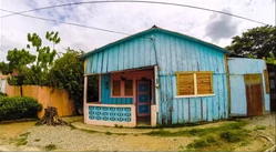
House in Bánica, DR
According to the Köppen climate classification , the climate of Bánica is Aw-i . This is rainy tropical climate (A) of savannah with double rainy season (w) and isothermal (the temperature difference between the warmest month and the cooler does not exceed 5°C (41°F). The highest rainfall occurs in the month of May; the winter is very dry.
It is possible to find dry subtropical forest (Bs-S) in the southwest of the municipality and humid Montano Bajo Forest (Bh-MB) in the northeastern part, in the mountains.
Waterways
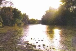
Artibonite River at Bánica
All the rivers in the municipality (and in the province) belong to the Artibonite River Basin . The main river of the municipality is the Artibonite, which forms the part of border with Haiti . In addition to the Artibonite, there is the Arroyo Manteca, which joins the Artibonite near the city of Bánica. The Tocino River, also a tributary of the Artibonite, flows mainly through the municipal districts of Sabana Cruz and Sabana Higüero; It has a length of 65 km (40 miles), its basin has an area of 66.5 km² (26 mi²), and its average flow is 1.30 m³ (4 ft³) / second, measured in Los Cajuilitos at 430 meters (1410 feet) above sea level.
Bánica, DR
Economy
The main economic activity of the municipality is agriculture. Among the products with the highest production are rice, beans, peanuts, cassava, corn, plantain. It maintains an important commercial exchange with the bordering country.
Infrastructure
Transportation
The urban centers of the municipality (Bánica, Sabana Cruz and Sabana Higüero) are on the banks of the Carretera Internacional, which joins the Sanchez Road in (El Cruce de) Matayaya, being the busiest route for the inhabitants of the municipality. The International Highway continues to the north and reaches the city of Montecristi ; this part is less traveled since almost all the movement of passengers and cargo is towards San Juan and Santo Domingo . There is also a road that goes from Sabana Cruz to Comendador .
Points of Interest
• Church of San Francisco de Asís. It is a colonial building of great religious and cultural interest. The exact date of its construction is unknown, but already in 1740 Archbishop Domingo Pantaleón Álvarez Abréu observes that in the Villa de Bánica there is “a new and well-treated church”.
• Sundial. On the top of one of its faces appears the date 1795, which could be the date on which it was erected. This sundial and that of Santo Domingo , on Las Damas Street, were the only sundials during the old Spanish colony.
• Cerro de San Francisco. It is a rocky hill at a distance of 1.5 kilometers (1 mile) northeast of the city. In it is a large cave that has been converted into a pilgrimage center. Inside the cave, drops of water fall from above; the devotees of San Francisco de Asis are placed so that the drops fall on their heads or faces since they consider it as holy water. From their walls, they extract a white limestone powder with which the pilgrims dust their faces so it is easy to recognize them when they return from the cave.
On the slopes of Cerro de San Francisco there is the only wild population of Pereskia marcanoi , named Rosa de Bánica.
• Le Taureau is a thermal spring located in Banica, which moves like the sea. The water is warm. It is said one can cook an egg there.

